CELEBRATING ASTRONOMY
IN IRELANDS
MIDWEST SINCE 1986
Home About The Club Joining the Club Contact the Committee Club News Meetings Timetable Club Equipment Observing Sites Burren Starparty Gallery Observing Guide Weather Telescope Help Books/Shops + Links


Weather:
| Weather is a big part in observational astronomy, trying to predict what the sky will be like tonight or sometime this week is a hugh help in planning observing nights and catching up coming events. | ||||
|
||||
|
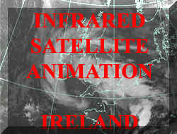
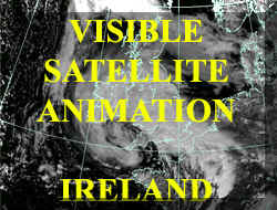
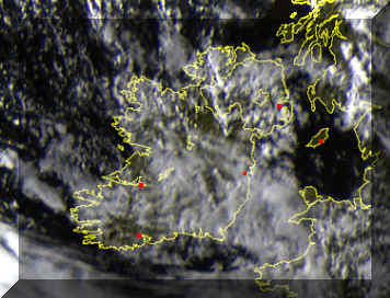
Satellites images showing cloud cover,
updated hourly, also can play back as an animation in hourly steps.
See below for a 24 hour forecast from the windy site
Click on Image below for 2 hour
colour high resolution sequence in 15 minute steps. |
||||
|
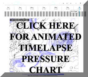
Atmospheric pressure plays a big part in our weather, low pressure usually indicates bad weather while high pressure can indicate clear skies, frost in the winter and sunny days in the summer, but not always. Isobars that are close together indicates strong wind, widely spaced isobars indicate little wind.
Met office time lapse pressure chart
|
||||
Left map -> Latest rainfall map using ground radar - Met Eireann
Click here to see rainfall over the last number of hours as an animation, takes you to Met Eireann's site
|
http://www.met.ie/weathermaps/Web_radar.gif ||||
The below chart shows windspeed and
direction, the wind is shown in two forms:
The JETSTREAM is a
high altitude wind.
|
||||
While not strictly weather phenomena, Aurora and Noctilucent clouds occur in the Earths atmosphere and are in themselves very interesting events to witness. For more information on aurora, noctilucent clouds and solar activity, see www.spaceweather.com
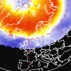
Latest
Auroral Halo image for the Northern Hemisphere, deep red indicates Aurora
activity. Latest NOAA Aurora forecast Courtest of the National Oceanic and Atmospheric Administration
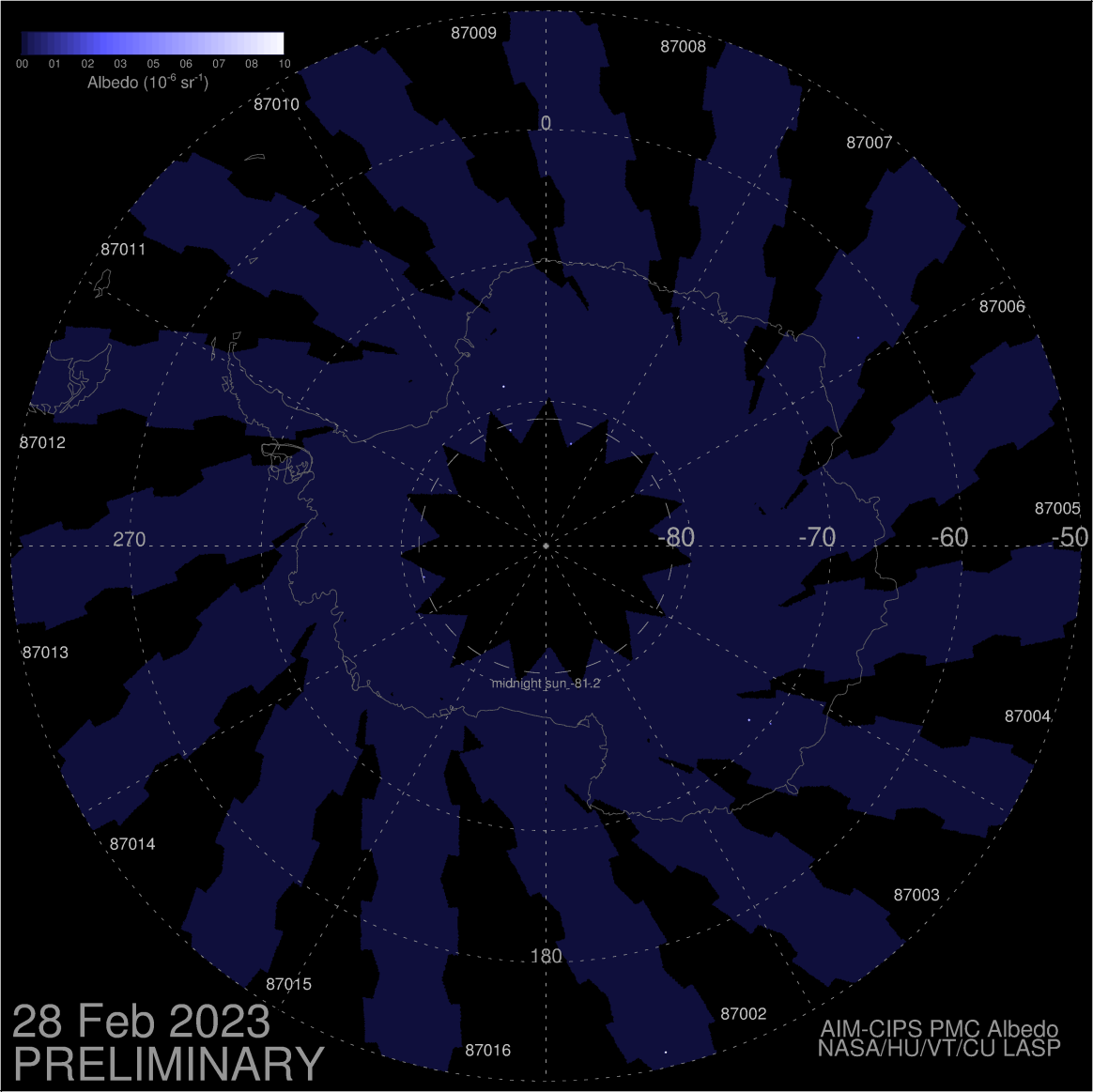
This polar Noctilucent Cloud map pictured below is a composite of near-realtime images from NASA's Aeronomy of Ice in the Mesosphere (AIM) research satellite, this is the latest image assembled by researchers at the University of Colorado's Laboratory for Atmospheric and Space Physics (LASP), note that the image isnt always up to date. Note that in the winter, the below map will be a NLC map of Antarctica, in the Summer it shows a NLC map of the Artic. This is due to the fact that the icecap needs to be in daylight for NLC's to be visible. |


 Temperatures are in degrees celsius.